
section-021e464
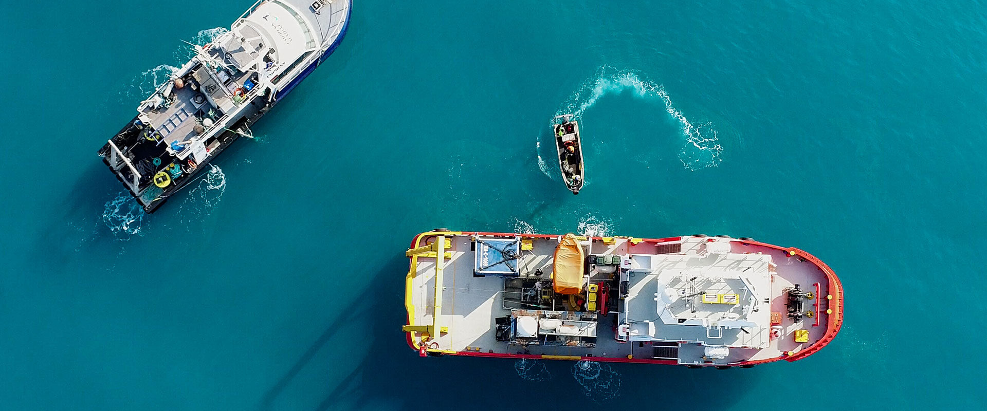
Hydrographic surveying is a specialised role which requires knowledge of the underwater environment, global positioning systems and sound navigation systems
Hydrographic surveyors, also known as hydrographers, use state-of-the-art technology to produce detailed plans of seabeds, harbours and waterways. The role involves measuring and mapping underwater surfaces and studying the morphology (construction) of the ocean floor, showing the depth, shape and contours.
They specialise in precise positioning, data acquisition and processing in onshore or offshore marine environments. Surveyors usually spend time on board survey ships and drilling platforms.
The information you'll collect is used in :
- the production of charts and related information for navigation
- dredging
- locating offshore resources (oil, gas, aggregates)
- positioning offshore wind farms, oil platforms and subsea cables
- planning dock installations
- monitoring erosion.
section-b30055d
Get In Touch
Our Clients


© Copyright 2022 All Rights Reserved